Project 1: Map ProjectionsObjective:
For this task, you should demonstrate your ability to explain site and situation factors of an area and the differences between map projections. Task:
Part 1: Project 1. Select a country you would like to focus on for this project 2. Visit the following site: http://projections.mgis.psu.edu/ 3. Select a projection, and set the parameters to zoom into your country. 4. Right-click on the image, and save it so you can access it later. 5. Repeat this process with two other projections. Part 2: Analyze
Answer the following questions in a Word document:
Part 3: Publish
Open up your Project 1 page, and import your projections and responses to the questions. While this is not an art project, you should create a page that is easy to read and navigate. Rubric:
Create and identify three projections of your selected country 15 points Answer the six analysis questions 25 points Create an aesthetically pleasing, easily accessible webpage, on time 10 points |
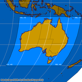
Robinson Projection
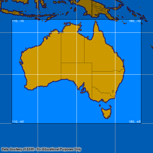
Mercator Projection

Lambert Conformal Conic
|